



Domov » Study Programmes » Precision Agriculture and Forestry (Ing.)
Precision Agriculture and Forestry (Ing.)
Precision Agriculture and Forestry is a professional joint Master’s degree program that integrates agriculture, forestry, engineering, and information technology, focusing on intelligent precision management tools.
About the Program
Are you interested in data, maps, drones, and modern technologies that help make more precise decisions in agriculture and forestry?
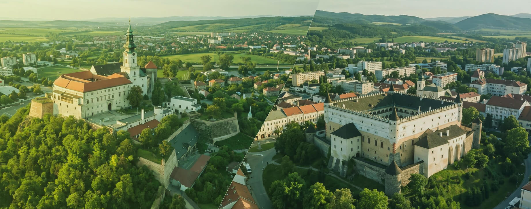
Precision Agriculture and Forestry is an accredited professional joint study program developed in cooperation between the Slovak University of Agriculture in Nitra and the Technical University in Zvolen. It integrates expert capacities in the fields of agriculture, forestry, engineering, and information technology.
The program focuses on training experts capable of managing agricultural and forestry enterprises through intelligent precision management tools. It emphasizes geoinformatics, the acquisition, processing, and analysis of geospatial data, and their use in spatial decision-making and the optimization of production processes.
How is the program focused?
The program integrates knowledge of photogrammetry, remote sensing, sensor systems, and unmanned technologies with the principles of sustainable natural resource management.
- Precision management: focuses on intelligent management tools for agricultural and forestry enterprises.
- Geospatial data: involves the acquisition, processing, and analysis of data for spatial decision-making.
- Drones, sensors, and remote sensing: integrates photogrammetry, remote sensing, sensor systems, and unmanned technologies.
- Sustainable landscape management: responds to the challenges of climate change, biodiversity protection, and the need to reduce environmental impact.
What will be in your schedule
Core Courses
- Agrotechnical principles of field crop cultivation
- Agricultural machinery
- GIS and remote sensing in agriculture
- Precision agriculture technologies in animal production
- Precision agriculture
- Advanced technologies for agricultural machinery
- Drones in agriculture
- Digital photogrammetry
- Geographic databases
- Precision forestry
What will you learn to do?
- work with geographic information systems and manage geographic data,
- acquire, process, and analyze geospatial data for landscape decision-making,
- utilize remote sensing methods and satellite navigation systems,
- plan, organize, manage, and perform geographic data collection using field methods,
- prepare documentation for forest management planning, inventory, and monitoring,
- work with documentation for forest management plans and forest ecosystem protection,
- participate in forest accessibility, water resource management, and optimization of transport and harvesting technologies,
- independently create and solve problem-oriented tasks, including practical applications.
Data as a basis for decision-making
The program is built on the use of geospatial data in agricultural and forestry practice. The studies aim to enable graduates to acquire, process, and evaluate data and use them in the planning, modeling, and management of production processes.
In forestry, the program also focuses on the collection and processing of geographic data using field methods, remote sensing methods, and satellite navigation systems.
What will you work with during your studies?
During your studies, you will encounter topics that link agricultural and forestry practice with geoinformatics, digital data, and modern technologies:
- precision agriculture and precision forestry,
- geoinformatics, GIS, and geographic databases,
- remote sensing and satellite navigation systems,
- digital photogrammetry,
- drones in agriculture,
- sensor systems and unmanned technologies,
- advanced technologies for agricultural machinery,
- forest monitoring, forest ecosystem protection, and natural resource management.
The integration of agriculture, forestry, and digital technologies
The program responds to the need for increased production efficiency while reducing environmental impact. It utilizes precise digital technologies in the planning, modeling, and management of agricultural and forestry production.
Where the program will take you
Graduates of the Precision Agriculture and Forestry study program find employment in professional and specialized positions focused on the digital and intelligent management of agricultural and forestry production.
They can work as precision agriculture specialists, GIS specialists, remote sensing experts, sensor and drone technology specialists, geospatial data analysts, technical development specialists in forestry, or forest property management specialists.
A newly identified profession is the specialist in digitalization in agriculture and forestry. Graduates find employment in agricultural and forestry enterprises, technology and consulting firms, public administration, research institutions, and organizations focused on sustainable natural resource management.
What makes the program unique?
Digital management of operations
The program prepares students to use intelligent tools in the management of agricultural and forestry enterprises.
Interdisciplinary integration
It integrates agriculture, forestry, engineering, and information technology.
Drones, sensors, and geodata
It works with unmanned technologies, sensor systems, photogrammetry, GIS, and remote sensing.
Sustainable landscape decision-making
It responds to climate change, biodiversity protection, and the need for efficient use of natural resources.
Start your journey toward precision agriculture and forestry
Detailed information about the admission process and the electronic application can be found on the Pod zelenú website.
Program Information
Program Length
2 years
Degree
Master's study
Degree
Ing.
Language
Slovak, English
Study Mode
Full-time / Full-time combined / Part-time
Joint Program
SUA in Nitra + TUZVO